Research Projects

Ongoing Research

Evaluating the Drivers of Extreme Runoff using Satellite-derived River Discharge Estimates

Using SWOT observations and data-driven models to improve process understanding of hydroclimatic extremes

Last Updated: July 2nd, 2024

Image: Flooding near Hamburg, Iowa, acquired July 17, 2011 by the Advanced Land Imager (ALI) on NASA’s Earth Observing-1 (EO-1) satellite.
Understanding Changes in Global Extreme Precipitation Using Machine Learning

Using climate model output and satellite observations, we train a series of convolutional neural networks to understand the underlying physical mechanisms contributing to extreme precipitation in different regions around the globe.

Last Updated: June 28, 2024

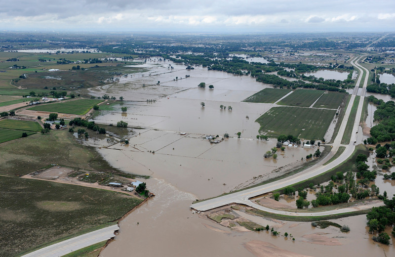
Image: Flooding in Greeley, Colorado (30 miles east of Fort Collins) in September, 2013.

Previous Research

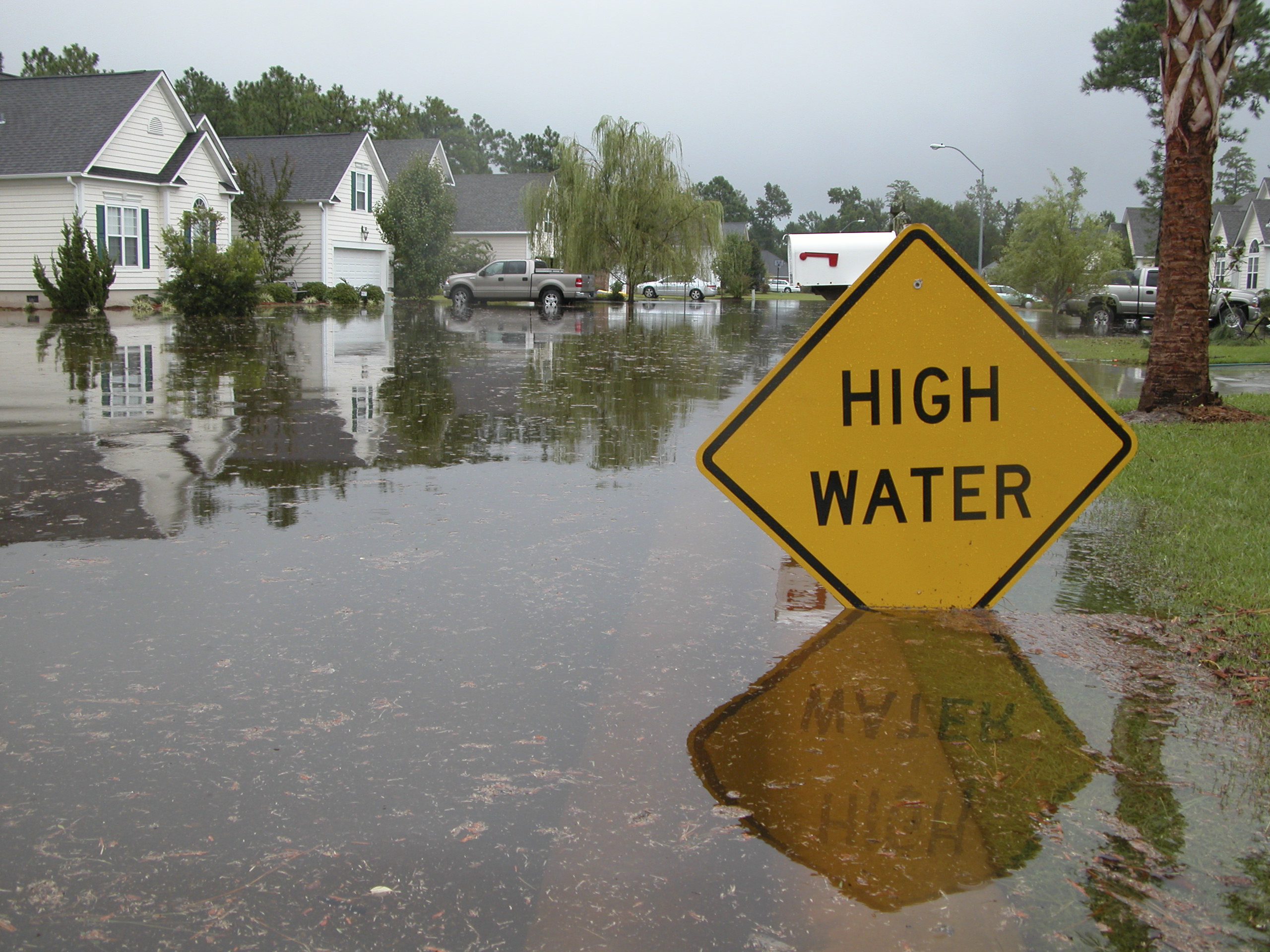
image of flooded street

Economic costs of extreme precipitation and flooding under climate change

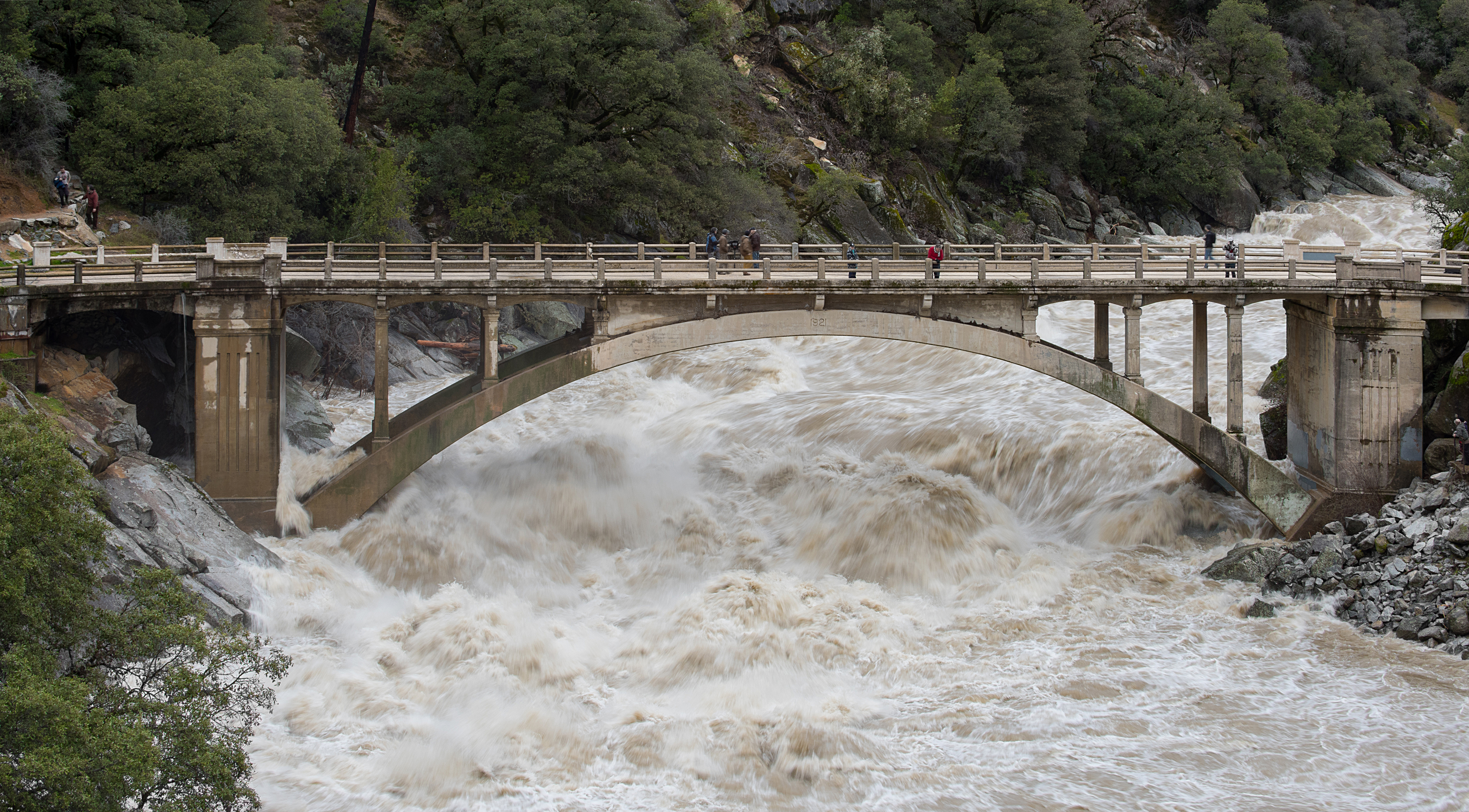
image of flooded river raging under an arched bridge

Snowmelt-driven vs. rain-driven flooding in the Western United States